Trondheim and The Overnight Problem
Wednesday, 03.09.2014
The alarm clock wakes us up at eight o’clock, it is unusually bright outside. The sun is shining, so we quickly get up, make ourselves a coffee and have an outdoor breakfast.
After breakfast we stow the tent and all our belongings inside the Didimobile for today’s leg of our Scandinavian Hockey Roadtrip. It is really impressive how fast experienced people are able to not only build up a tent but also to disassemble it afterwards over and over again.
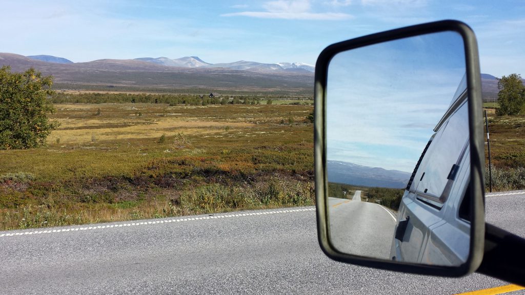
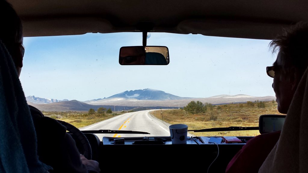
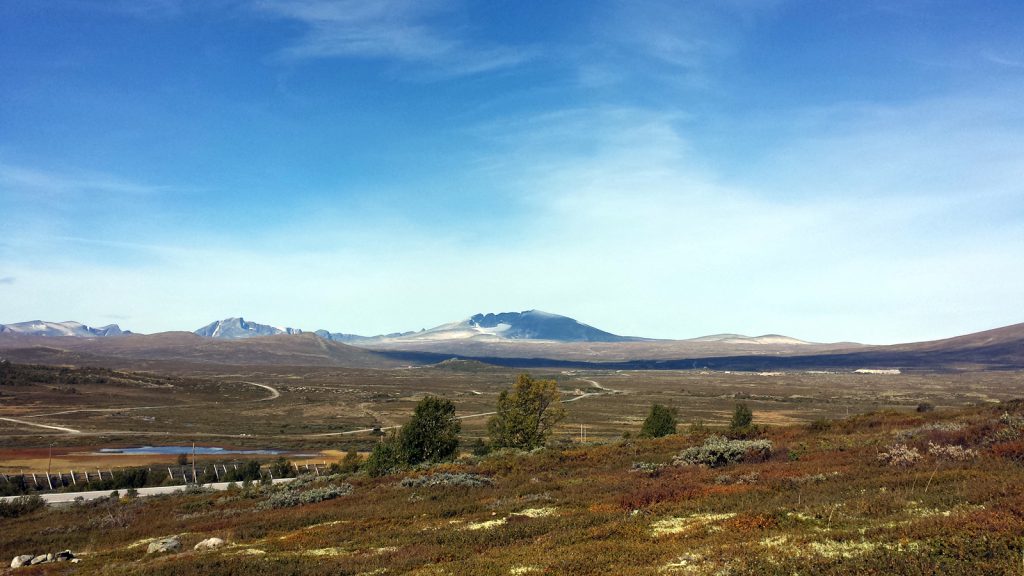
Today’s stretch shall bring us a good distance beyond Trondheim, thus we follow European Route E6 northbound along Gudsbrandsdalen Valley to Dombås, always parallel to River Lågen. Here at Dombås E6 road leaves the fertile valley and climbs steeply up the plateau of Dovrefjell National Park. The scenery is so much different here from what we have experienced so far. A broad, rather barren land surrounded by snow covered mountains.
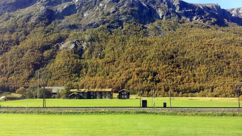
The whole way from Otta to Trondheim, the Dovrebahn railway line follows the E6 road. Many abandoned railway stations far away from any signs of civilisation can be seen from the road.
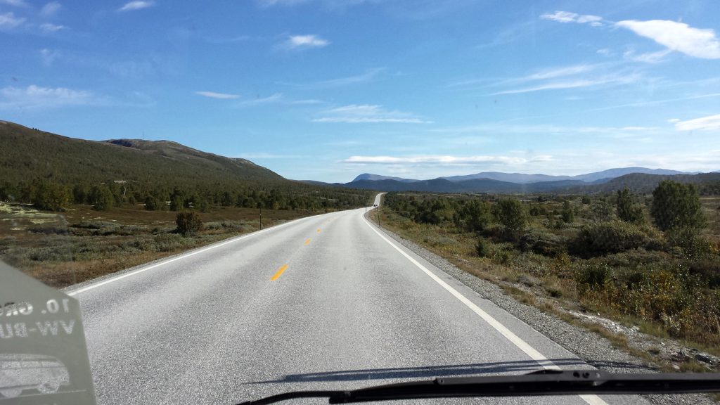
The weather is great. Blue skies, sunshine, thus quite cool up here at 1,000 meters. Traffic on the main highway is very sparse, and sometimes you get the feeling of being the only person far and wide.
Although the road is everything but demanding to the driver, cruising on it never becomes boring. We could watch this magnificent scenery for hours without becoming bored.
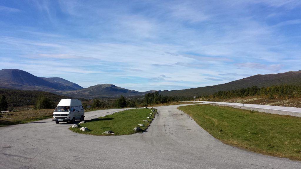
We do several further pauses. This could also be Canada. Or maybe Alaska. At least this is how we imagine these regions on neighbouring continents: Wide open spaces, meagre, cold.
After Hjerkinn the smoth decend from Dovrefjell to Trondheim commences. Slowly we reach the timber line, and first settlements are evidence for not having been at the back of bejond already.
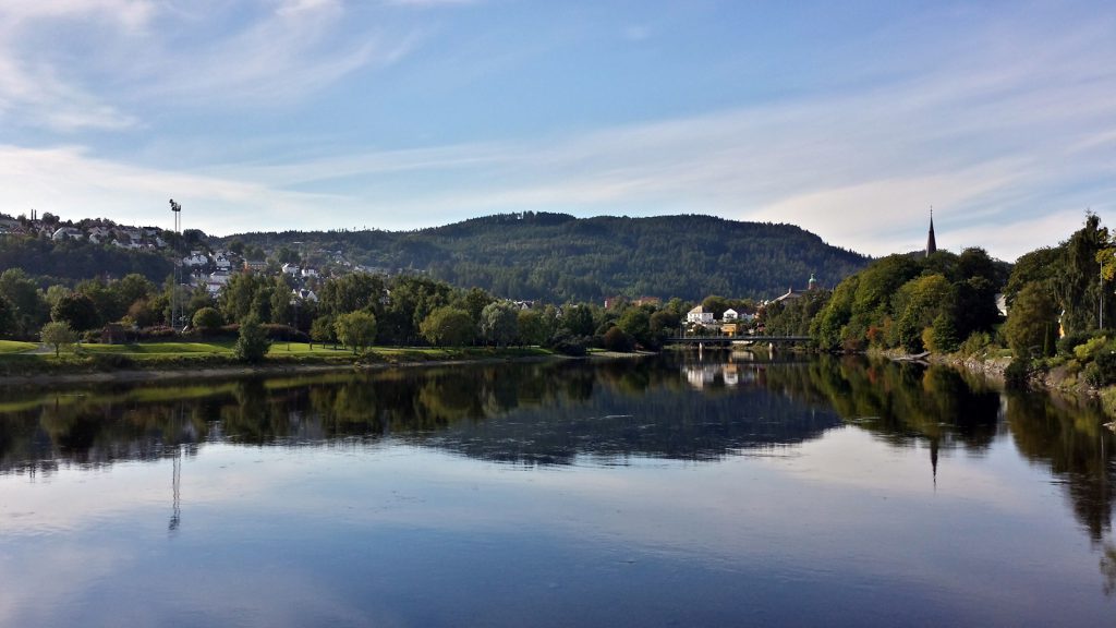
The approach to Trondheim is rather unexciting. Along industrial estates and suburban housing settlements the center of Norway’s third largest town is reached via a multilane highway. We find an affordable parking lot near Trondheim Spektrum‘s sports center.
We buy a parking ticket for two hours, that must be enough time to explore the town since we are planning on driving for about another hour closer to the Swedish border to look for a campsite there. So we limit our visit to the standard tourist sights.
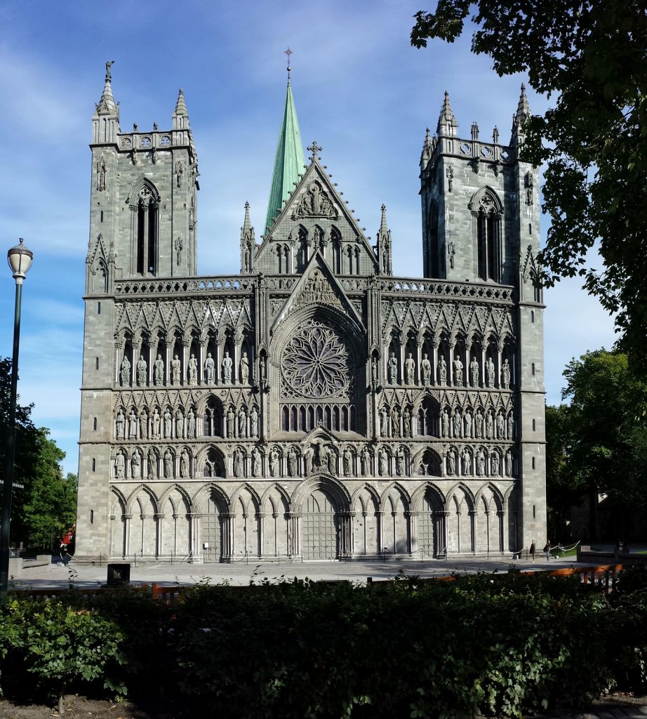
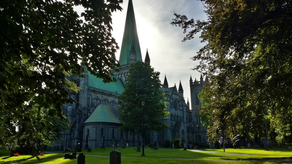
First, we walk to Nidaros Cathedral.
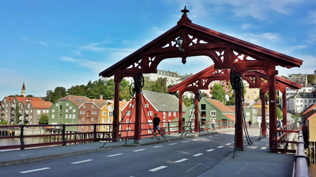
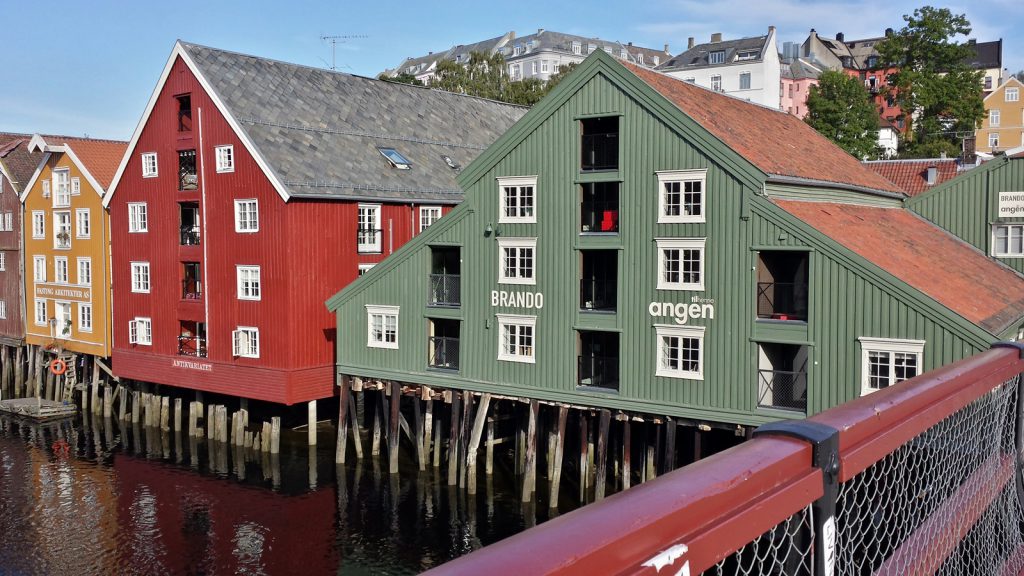
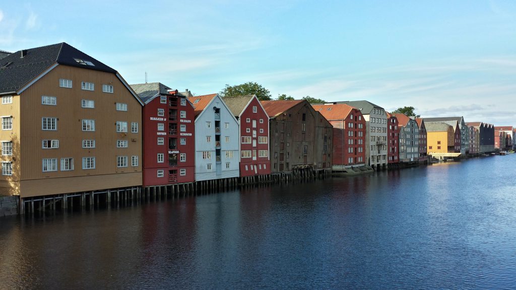
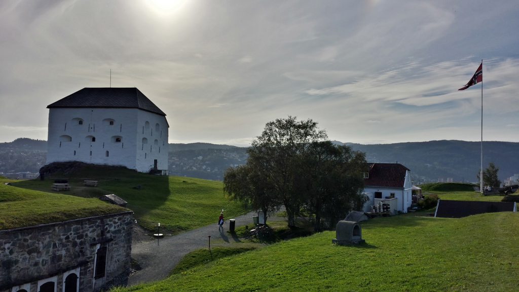
Right next to Nidaros Cathedral lies the old wooden town bridge, Gamly Bybroen, built in 1862. It links the town’s center to the old harbour district and Kristiansten Fortress.
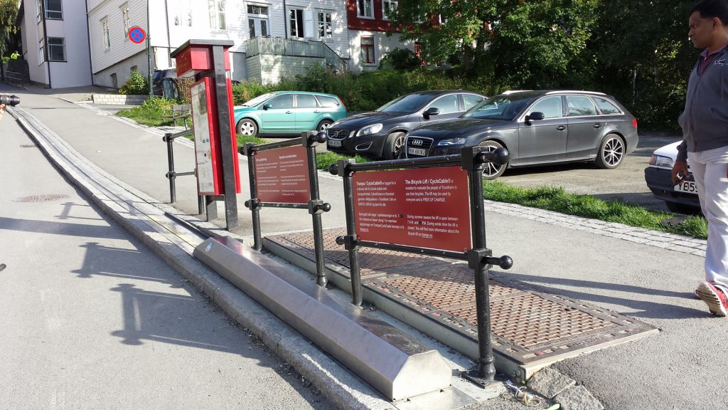
A piculiarity on the way up to the fortress is the bicycle lift on Brubakken road. Along a stretch of 130 meters it helps cyclists to overcome a height difference of 23 meters.
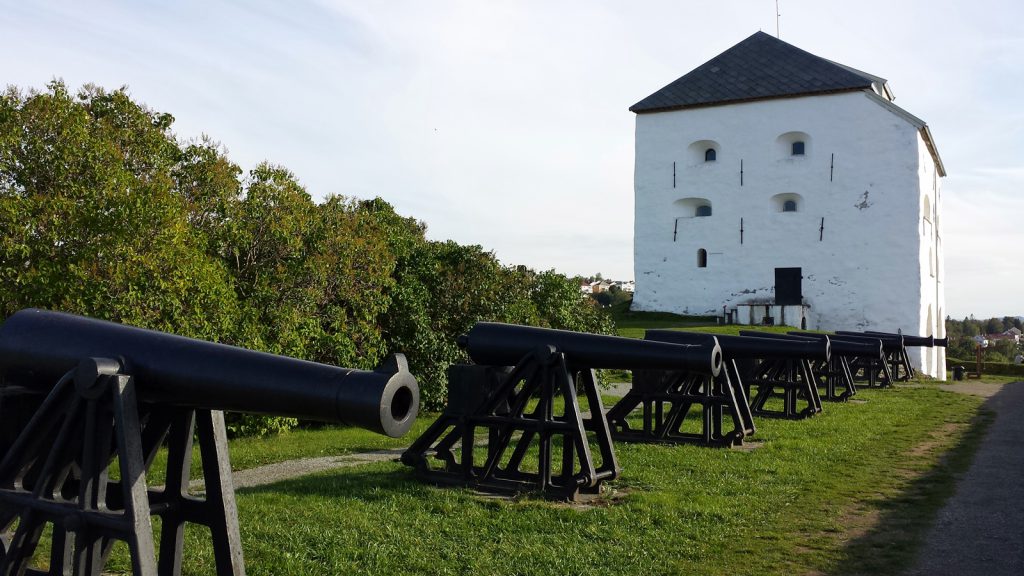
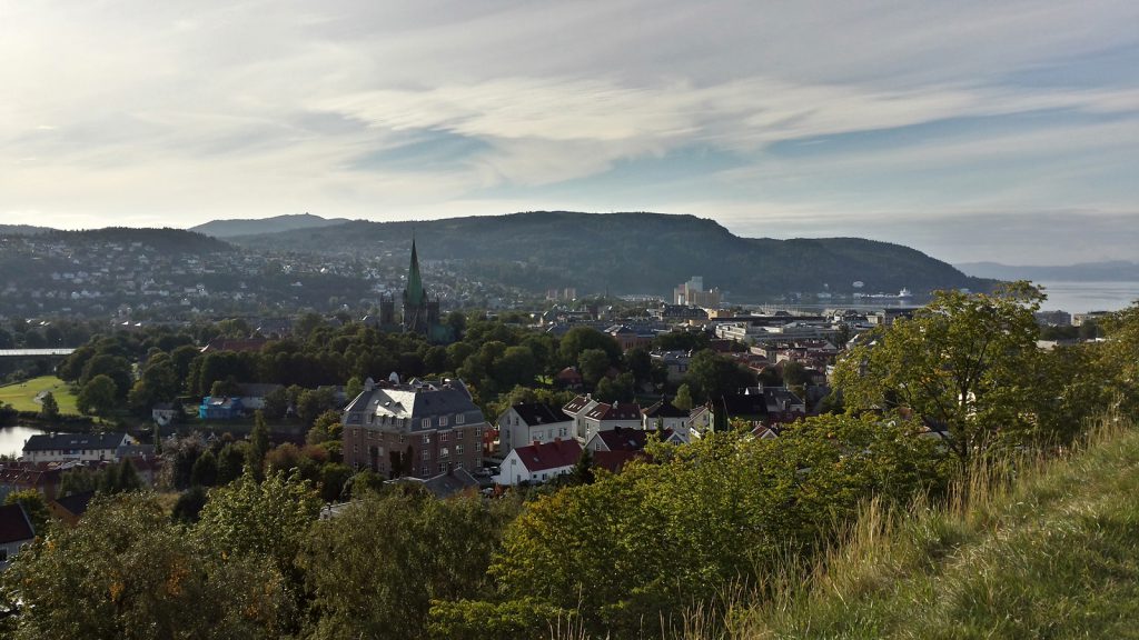
Kristiansten Fortress is situated slightly above the town. From here you have a perfect view over Trondheim and the Trondheimfjord.
It is around 6 pm when we leave Trondheim again. Our intention is to use the motorway to Stjørdal near Trondheim-Vaernes airport and to continue from there on European Road E14 towards the Swedish border. Our map shows several campsites along the way, but it turns out to be much harder to actually find one. The first campsite is just non-existent, the second one turns out to be a long abandoned Asia snackbar. Campsite number three has already closed down for the winter period, further sites are also either closed or non-existent.
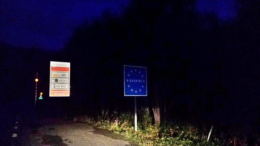
At half past nine we pass the Norwegian-Swedish border in complete darkness, although we still have a fair amount of Norwegian money (kroner) with us which we wanted to pay the campsite with.
Another good hour we are driving through the pitch black Swedish night until we finally find an open campsite in the winter sports resort of Duved where we are going to spend the night.


